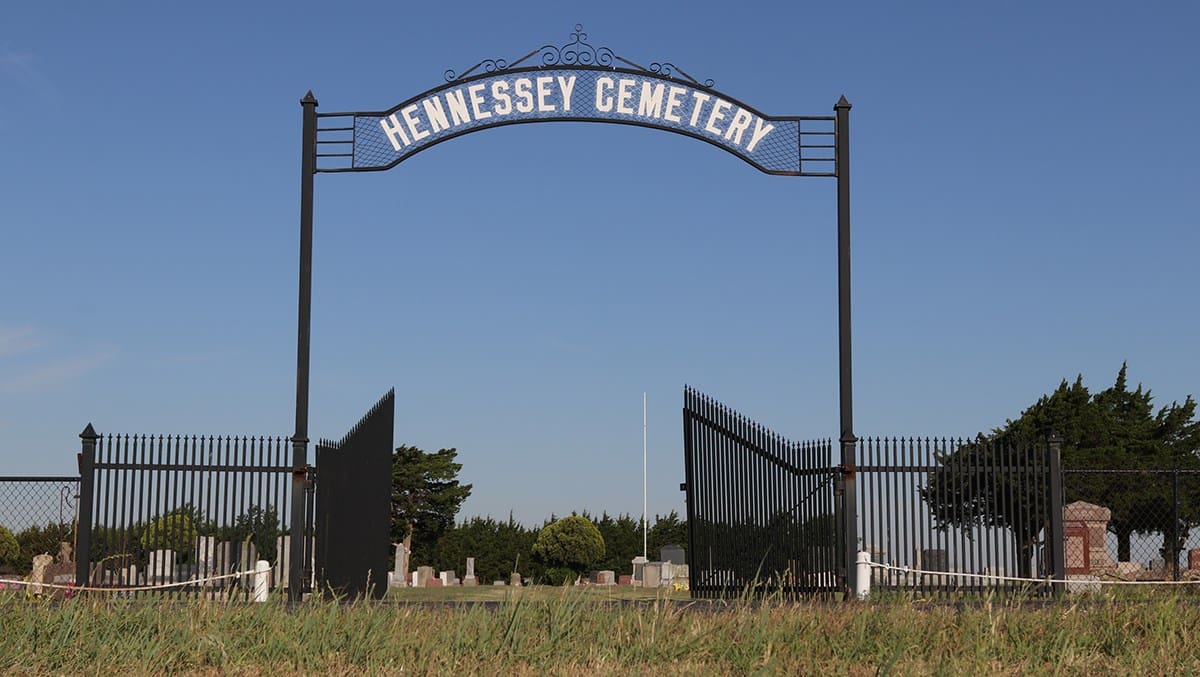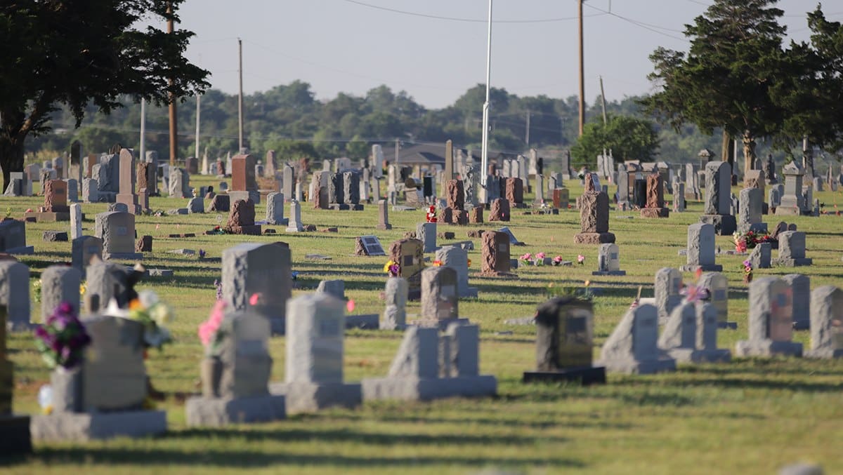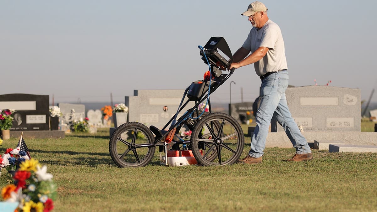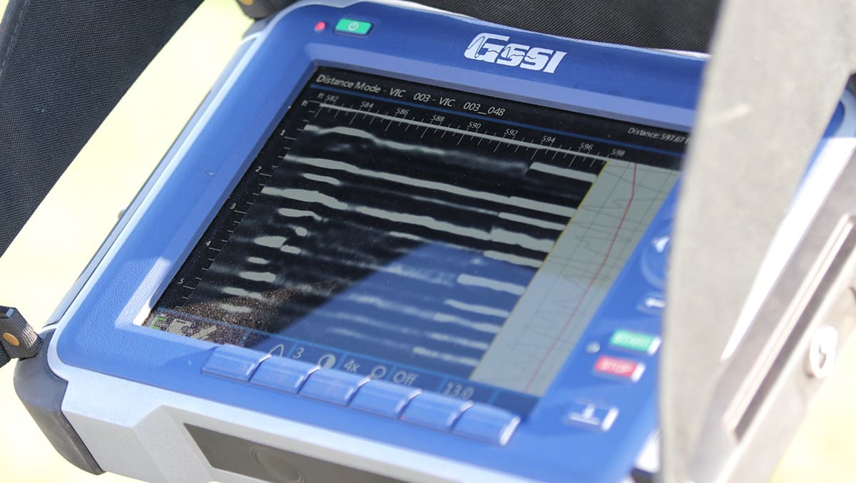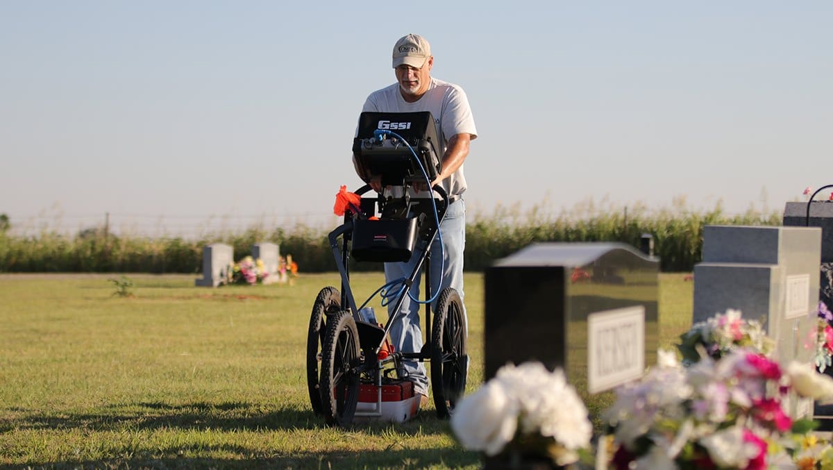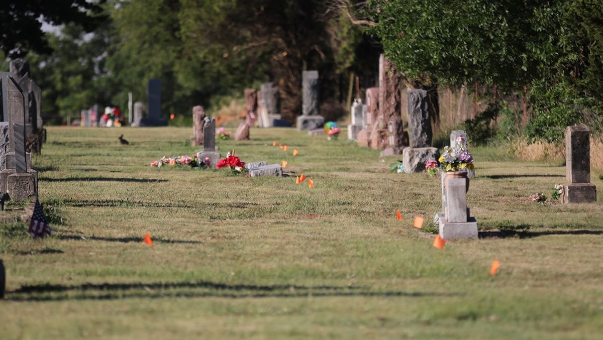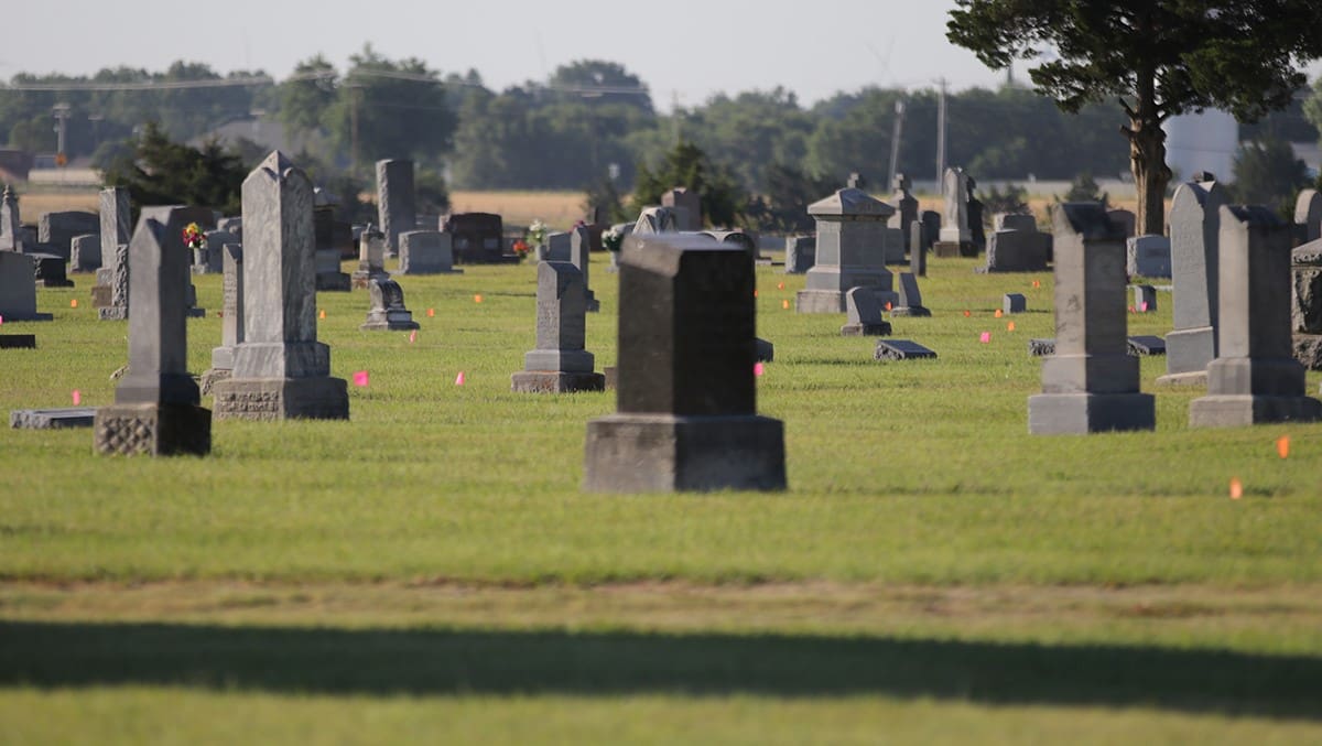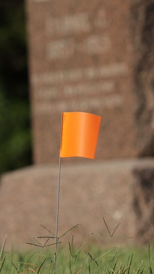
A few months ago, the Hennessey Board of Trustees voted to hire Omega Mapping Services to map and locate all of the graves at the town cemetery. This does not include the Catholic area of the cemetery. Scott Field, of Omega Mapping, has been working at the Hennessey cemetery for about a week using a ground penetrating radar system. Fields said, “I first layout a grid using GPS, then use the radar to locate all of the grave sites.” This information will be input into a computer system that will be searchable to find any of the graves in the cemetery. The radar doesn’t see the actual grave, it sees a unique signature image when it comes across a site. This looks like a point where the center of each site is. If he comes across an unmarked grave, it is noted and a flag is placed to make its location. Fields said, “I am about two thirds of the way across this cemetery and have located over 300 unmarked graves so far.” The town is creating a volunteer validation team that will walk the cemetery and verify the correctness of the information. If you are interested in helping, please contact the Hennessey Town Hall 405-853-2416